Parks & Trails
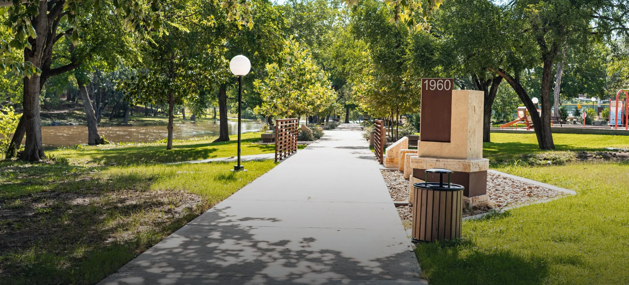
The parks here are not a strip of grass beside a car park. Old Settlers Park is 670 acres by the City of Round Rock’s own count, with seven playgrounds, more than forty picnic areas with grills, about 3.3 miles of paved trail, and a lake that Texas Parks and Wildlife restocks. Williamson County runs a 7.75-mile concrete regional trail along Brushy Creek. Then there is a third layer nobody writes about: the small city-owned greenbelts threaded through the neighborhoods east of Interstate 35.
20 Tate Lane is 1.9 miles from Old Settlers Park’s main entrance on Palm Valley Boulevard, routed on real roads rather than estimated, and about a mile from the park’s northern edge where its first playground sits. The nearest public green space is closer still, at 0.6 miles. The honest note is that Old Settlers Park is a building site: a $230 million bond Round Rock voters approved in May 2023 has several sections under construction with completion expected in 2027, and the city has been rerouting traffic on Harrell Parkway, the road through the park, while it happens.

Where to Walk
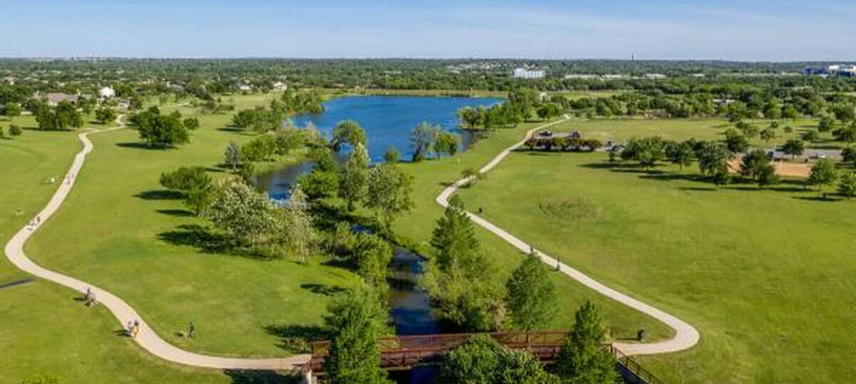
Old Settlers Park
670 acres by the city’s count: seven playgrounds, a stocked lake, and 3.3 miles of paved trail.
1.9 mi/7 min off-peak City of Round Rock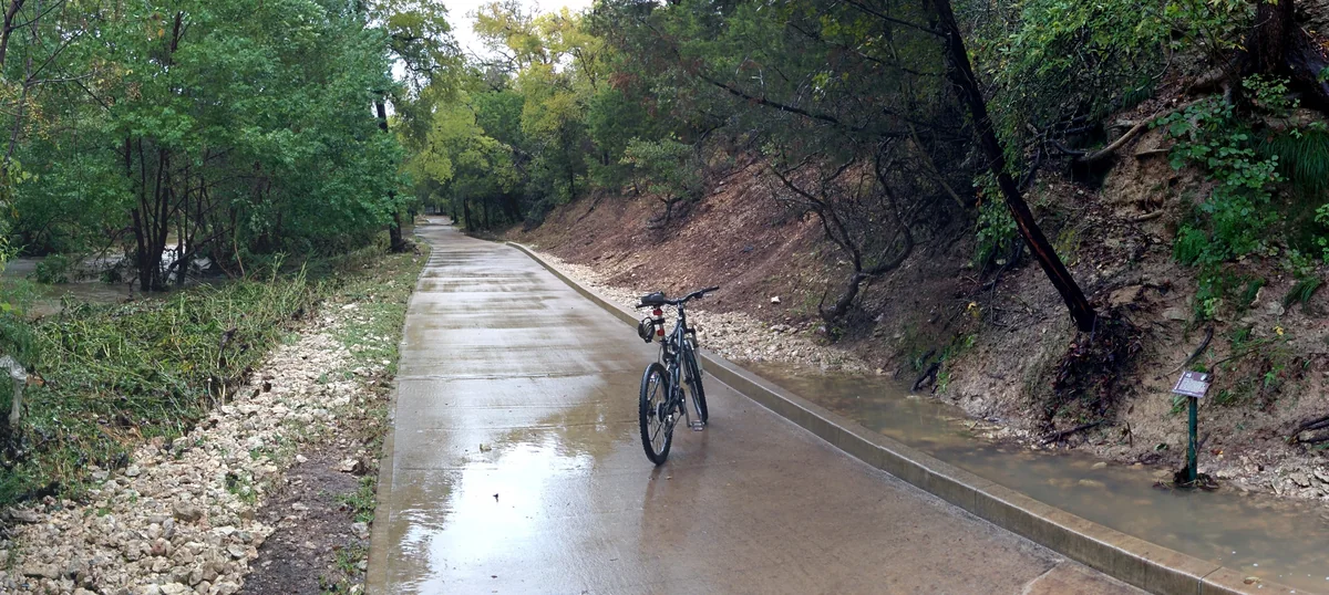
Brushy Creek Regional Trail
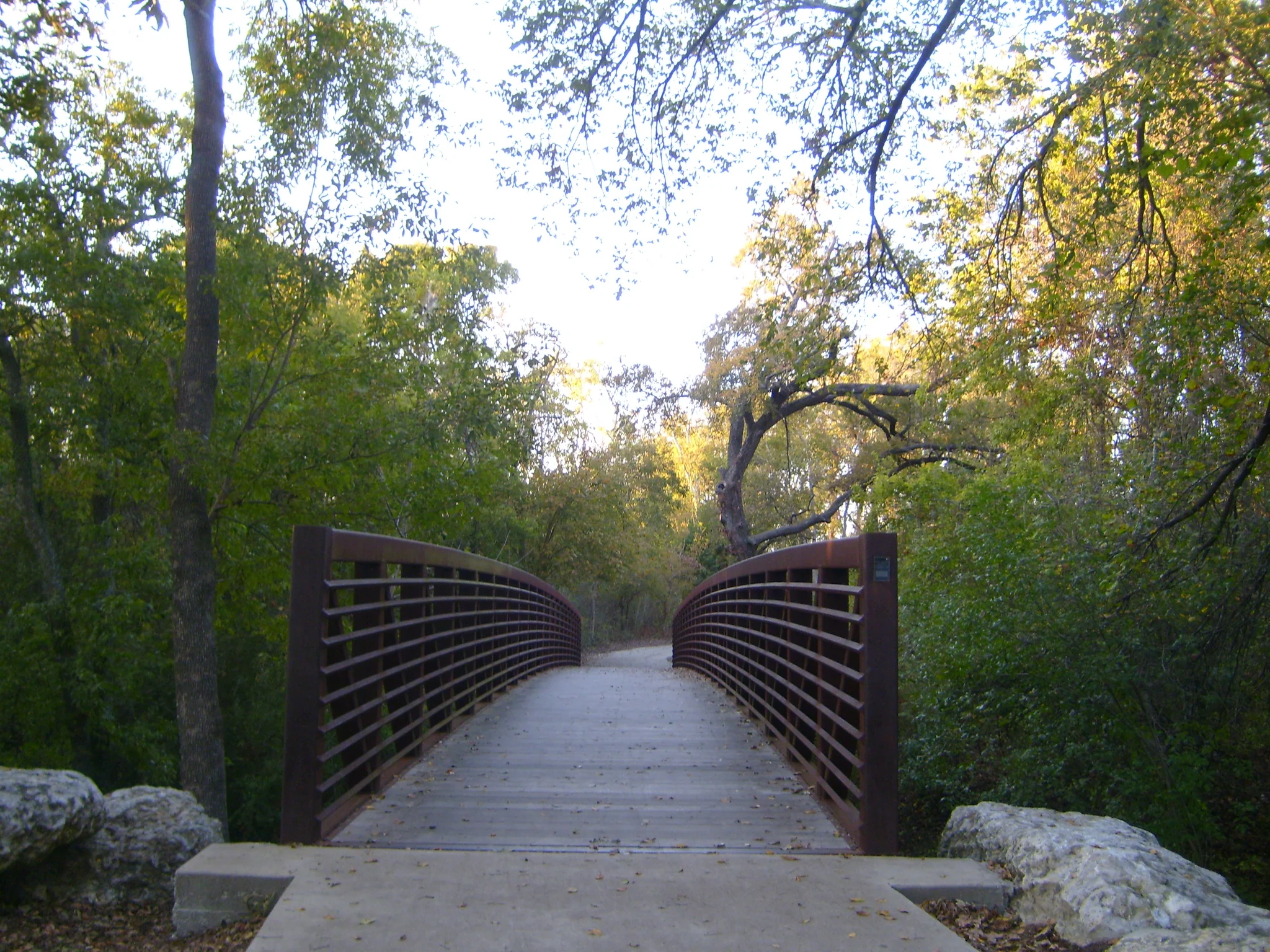
Williamson County’s 7.75-mile concrete trail, from Great Oaks Drive to Twin Lakes Park in Cedar Park.
6.2 mi/14 min off-peak Williamson County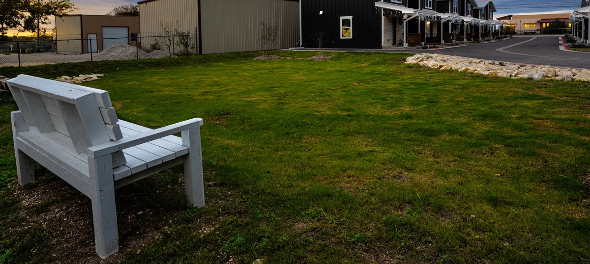
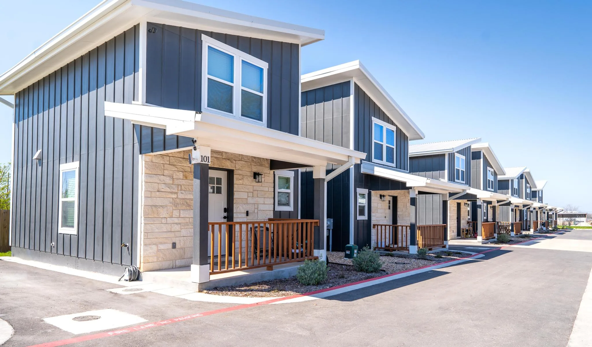
The dog park and fire pit at 20 Tate
Shared on site: a fenced dog park, a stone fire pit with circular seating, and a BBQ area.
On site/no drive See the homes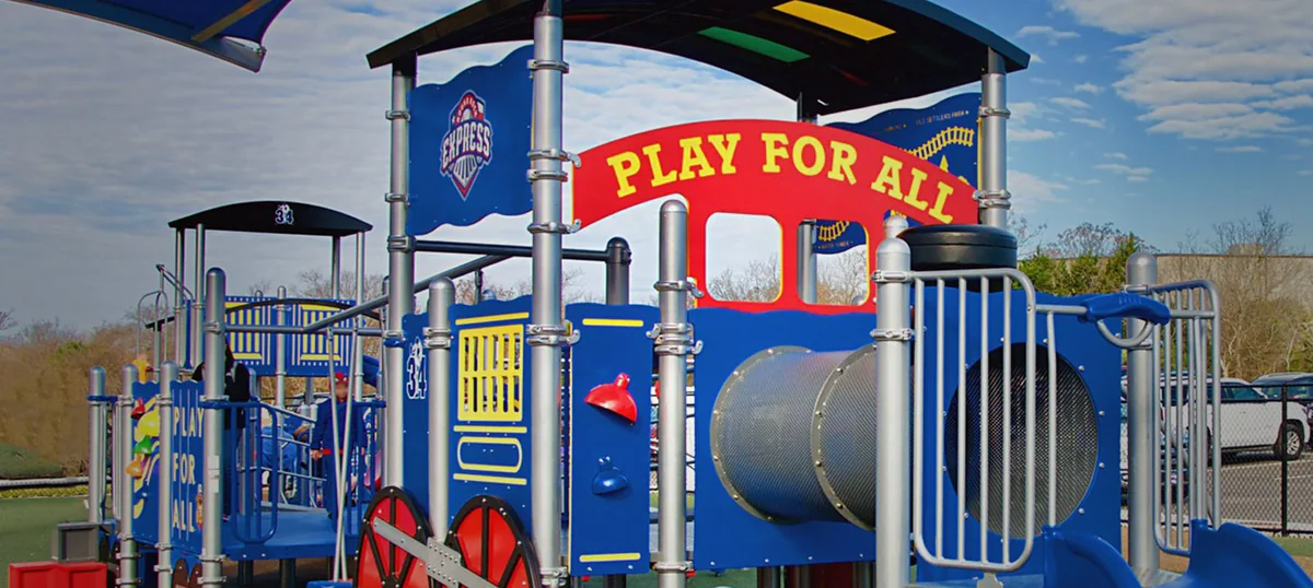
Play for All Abilities Park
Round Rock’s accessible playground, ramped and ground level throughout, on 15.89 acres at Rabb Park.
4.9 mi/11 min off-peak A morning with kids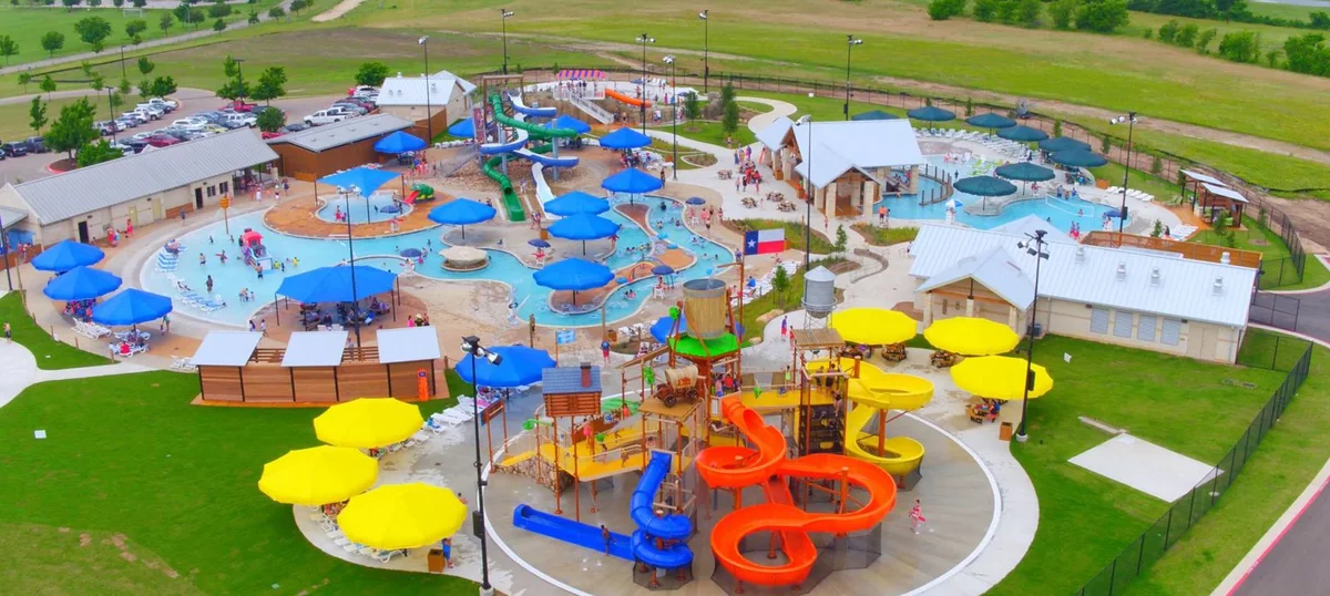
Rock’N River
The city waterpark inside Old Settlers Park. Slides, a lazy river and a deep-water quarry, May to September.
3.1 mi/9 min off-peak Water in summer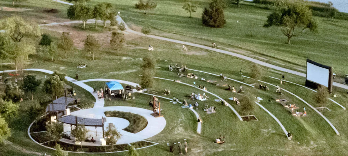
Pocket parks within a mile
Settlers Overlook Greenbelt is six city-owned acres at 0.6 miles. Old Settlers’ north edge is one.
0.6 mi/2 min off-peak What is closeWhat’s great about the parks here
- There is public green space 0.6 miles away. Settlers Overlook Greenbelt is six city-owned acres on the Chandler Creek corridor, off Bluffstone Drive, and it is on the city’s own parks map.
- Old Settlers Park starts nearer than its address. The Palm Valley entrance is 1.9 miles, but the park’s northern edge and its first playground are about a mile out, a three minute drive.
- A regional trail for when you want distance. Williamson County’s Brushy Creek Regional Trail is 7.75 miles of mostly concrete, 6.2 miles from here, and you pick your own turnaround.
- The dog park is on this property. A fenced dog park, a stone fire pit with circular seating and a BBQ area, shared by the community. Round Rock’s own public dog park, the Dog Depot, is 6.4 miles away.
- The lake is stocked, and there is a pier. Texas Parks and Wildlife restocks Bright Lake at Old Settlers Park through its hatchery program; the city lists bass, catfish and perch as the common catch.
- Seven playgrounds in one park. That is the city’s own count for Old Settlers Park, alongside more than forty picnic areas with grills.
How people actually use them
A morning with kids
- 9:00 amInto Old Settlers Park. The north edge is about a mile out; the main gate on Palm Valley Boulevard is 1.9 miles and seven minutes.
Check what is open before you load the car. Several sections are under construction from the 2023 bond, with completion expected in 2027, and the city has been rerouting traffic on Harrell Parkway.
- 10:00 amSeven playgrounds by the city’s count, more than forty picnic areas with grills, and about 3.3 miles of paved trail to wear everyone out on.
- 11:30 amBright Lake and the fishing pier. Texas Parks and Wildlife restocks it through its hatchery program, and the city lists bass, catfish and perch.
- Or insteadPlay for All Abilities Park at Rabb Park, 4.9 miles and eleven minutes, which is ramped and reachable at ground level throughout rather than accessible in name.
A run or a ride
- ShortSettlers Overlook Greenbelt, six city-owned acres off Bluffstone Drive, 0.6 miles and two minutes away.
It is a greenbelt, not a park with a car park and a playground. Most of the other green space in the immediate blocks belongs to the Paloma Lake and Estates of Settlers Park associations and is theirs, not the public’s.
- MediumThe loop inside Old Settlers Park: about 3.3 miles of paved trail linking Dell Diamond, the soccer complex, the pavilions and the lake.
- LongThe Brushy Creek Regional Trail, 7.75 miles of mostly concrete run by Williamson County, 6.2 miles and fourteen minutes from the door.
The city has its own greenbelt trail on the same creek nearer to here, between Kenney Fort Boulevard and Red Bud Lane, at 2.9 miles. It is a different, shorter trail from the county’s.
Water in summer
- May to SeptemberRock’N River, the city’s waterpark inside Old Settlers Park, 3.1 miles and nine minutes. Slides, a lazy river and a deep-water quarry with a drop slide.
- What it costsA day pass runs $20 for an adult and $18 for a youth, half price for the last two hours, with a family season pass from $245.
Read off the City of Round Rock’s own admission page on 1 September 2026. The city does not date that page, so check it before you go.
- The rest of the yearHome. The shared fire pit and BBQ area are on this property, which is the difference between an evening outside and an evening in the car.
Questions people ask
What is the history of Old Settlers Park?
It is named for the Old Settlers Association of Williamson County, which held its first reunion in Georgetown on 27 August 1904 and has held one every year since. The association met for decades at Harrell Park, west of Interstate 35 between RM 620 and McNeil Road, then sold that tract in the late 1980s and bought 111 acres of the old Palm plantation east of town. It kept about thirty acres for its own grounds and gave the rest to the City of Round Rock, which built the park around it; the first celebration on the new grounds was held in 1988. The Austin Chronicle put the park at 485 acres in 1999, quoting the city’s parks director; the city’s own page now says 670. The association is still there, at 3300 Palm Valley Boulevard, inside the park it gave away.
Is there an entrance fee for Old Settlers Park?
No. You drive in and park without paying a gate, and the trails, the seven playgrounds, the picnic areas and the fishing pier cost nothing. Individual things inside the park are ticketed: Rock’N River, the city’s waterpark, charged $20 for an adult and $18 for a youth day pass when its admission page was read on 1 September 2026; Round Rock Express games at Dell Diamond are ticketed; and the pavilions, the fields and the festival area are reservable through Round Rock Parks and Recreation. Getting into the park itself is free.
How long is the Brushy Creek trail in Round Rock?
About 7.75 miles. Williamson County, which owns and publishes the Brushy Creek Regional Trail, describes it as an approximate 7.75 mile mostly concrete trail. More than six of those miles run from just west of Great Oaks Drive along the creek to Twin Lakes Park in Cedar Park, and a separate one-mile out-and-back section, Phase V, sits just west of Chisholm Trail Road in Round Rock. From 20 Tate Lane the county trail is 6.2 miles and about fourteen minutes off-peak. Note that the City of Round Rock runs its own, shorter greenbelt trail along the same creek closer to here, between Kenney Fort Boulevard and Red Bud Lane, which is 2.9 miles from this address and is a different trail.
Where does Brushy Creek start?
The creek rises about three miles northwest of Leander, in southwestern Williamson County, and runs east for sixty-nine miles to its mouth on the San Gabriel River, five miles north of Rockdale. That is the Texas State Historical Association’s Handbook of Texas entry for it. The trail named after the creek starts somewhere else entirely: Williamson County puts the main run of the Brushy Creek Regional Trail between a point just west of Great Oaks Drive and Twin Lakes Park in Cedar Park, which is a fraction of the creek’s length. Spanish explorers called it Arroyo de las Ánimas Benditas, the creek of the blessed souls, in 1716.
What are some fun outdoor activities in Round Rock?
Walking or riding the paved trail at Old Settlers Park, fishing Bright Lake, and the park’s disc golf course are the three that cost nothing and are closest. Beyond that: Rock’N River, the city waterpark inside the same park, from May to September; Play for All Abilities Park at Rabb Park, which is genuinely accessible rather than nominally so; a Round Rock Express game at Dell Diamond, where a weeknight seat costs less than a film; Memorial Park downtown, 6.3 miles out, where the trail runs along Brushy Creek past a playground; the Brushy Creek Regional Trail when you want 7.75 miles instead of three; and the round rock itself, the table-shaped slab in Brushy Creek that gave the town its name in 1854. We would start with the trail and the lake, because they are free, they are seven minutes away, and they work on a Tuesday evening as well as a Saturday.